
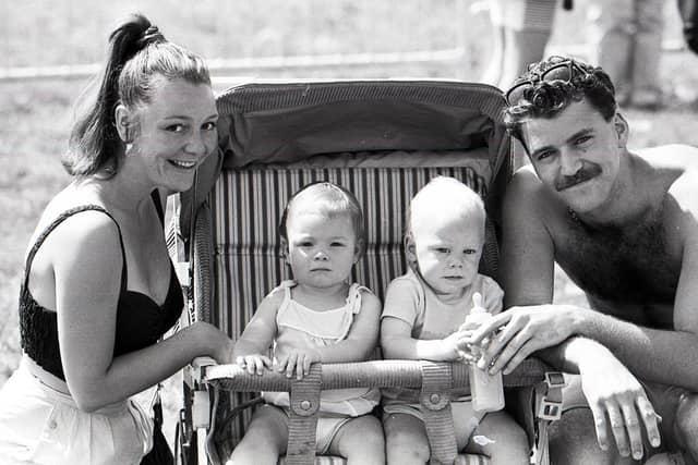

Stretching for 550 square miles, the UK’s original national park – the Peak District – welcomes more than 13 million people each year.
Considered by many as the spiritual home of the free access to the countryside we all enjoy today, the Peak District provides a taste of the outdoors to millions.
This collection of images shows the landscapes of the Peak District throughout history and how our countryside has changed over the last century.
Other photos include a Scout and Guide Camp at Chatsworth and Bakewell Show.
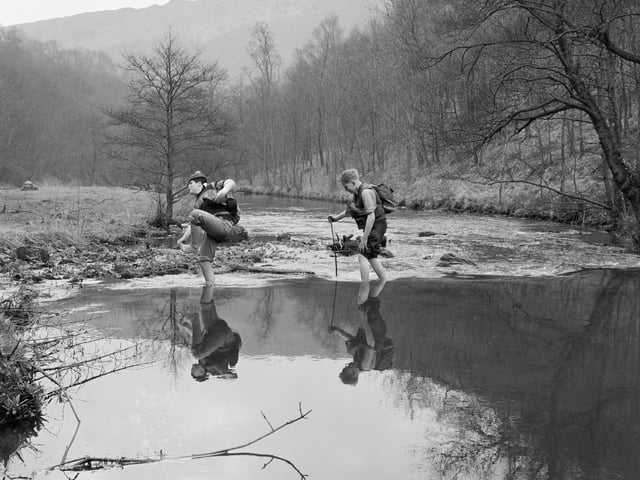
9. Wading barefoot
Peak District, Derbyshire, 1959. Two boys wading barefoot across a river in a valley with bare trees, possibly Dove Dale, with a dramatic hilly landscape in the distance. One boy is hopping and clutching at his foot, possible he has stubbed his toe. (Photo by English Heritage/Heritage Images/Getty Images) Photo: Heritage Images
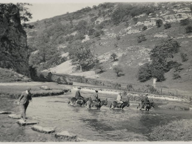
10. Dovedale
Dovedale, Derbyshire Dales, 1950-1964. People on horseback wading across the River Dove by the stepping stones at Dovedale. Artist Unknown. (Photo by Historic England Archive/Heritage Images via Getty Images) Photo: Heritage Images
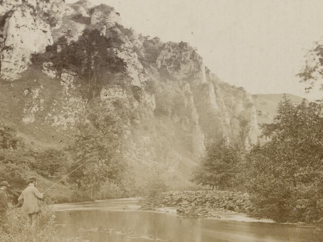
11. Tissington Spires
Tissington Spires, Dovedale 1860s-1870s. Two anglers on the east bank of the River Dove, with Tissington Spires beyond. Artist Unknown. (Photo by Historic England Archive/Heritage Images via Getty Images) Photo: Heritage Images
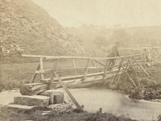
12. River Dove
Dovedale, Ilam, 1860s-1870s. A man standing on a wooden footbridge over the River Dove, with Thorpe Cloud beyond, at the southern entrance to Dove Dale. Artist Unknown. (Photo by Historic England Archive/Heritage Images via Getty Images) Photo: Heritage Images