
Derbyshire braces for snow as Met Office issues yellow warning alert

A yellow weather warning for snow has been issued by the Met Office, affecting Derbyshire from this afternoon through to Friday morning. The region is preparing for snow, sleet, and ice conditions.
The Met Office has issued a yellow weather warning for snow between 3pm today (Thursday, February 5) till 3am on Friday, February 6.
Derbyshire is bracing for a wintry snap as rain moving north across England today is expected to increasingly turn to snow over higher ground through the afternoon and evening.
The snow will continue overnight and into Friday morning, although the altitude at which snow settles should steadily rise above that of most major trans-Pennine routes during the early hours of Friday.
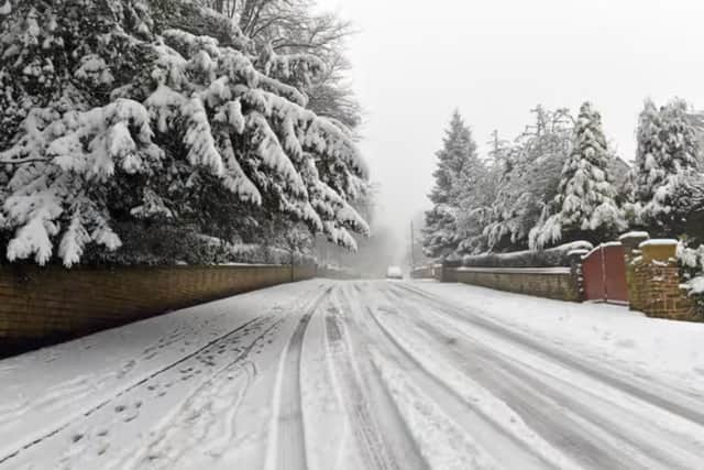

While some sleet or snow is possible to lower levels for a time this evening, accumulating snow is mostly likely above 250 to 300 m with up to 5 cm possible. Much of this is set to melt during Friday morning after the warning ends. Some places above 500 m may see 5-15 cm.
Although it is set to be wintry outlook for the next few days, the weekend is looking a little more clement.
Commenting about the weekend weather, through to Monday, BBC said: “There will be a cloudy start on Saturday, with the odd spot of rain in the morning.
“Spells of rain and showers will push northwards in the afternoon, clearing later on and leaving it dry with bright spells.
“Sunday will see a bright start but it will cloud over in the afternoon for a time, with cloud breaking as the day progresses.
“It will be mainly dry. Monday will see variable cloud and showers.”