
Derbyshire snow: Met Office issues yellow weather warning as Derby braces for snow, ice and sleet

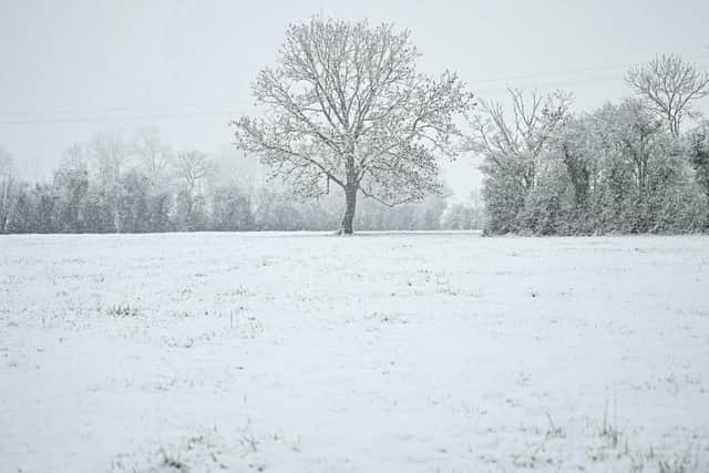
Derby and wider Derbyshire is set to experience wintry weather with snow and ice potentially disrupting travel, according to the Met Office's latest forecasts.
Derby and wider Derbyshire is set to see wintry weather according to latest weather forecasts from the Met Office and BBC. The mercury is set to dip as plummeting temperatures bring in wintry conditions.
Snow and ice could bring some disruption, especially to travel, says the Met Office.
People can expect roads and railways to be affected, giving rise to longer journey times by road, bus and train.

Icy surfaces, especially on some untreated roads, pavements and cycle paths, may make navigation difficult.
The Met Office said: “Outbreaks of rain, sleet and snow will move north over mid and north Wales and northern England on Tuesday evening and Wednesday morning. Snow accumulations, in the order of 1-3 cm will mainly occur above around 200 metres, though the odd cm is possible at lower elevations. There is also a chance of transient freezing rain over higher ground and though the odds of this occurring in any one location is small, it would increase the ice risk nonetheless. Sleet and snow will clear from the south through Wednesday morning.”
Weather experts from other agencies predict a similar outlook.
Here is the full BBC weather forecast for Derby
Tuesday, January 3
Today will be cloudy with spots of drizzle expected to turn wintry on higher ground.
The afternoon and evening will see longer spells of rain moving in from the west, again wintry on the hills.
Tonight
Tonight will be cloudy with light rain and hill snow through the early part of the night. It will turn drier through the second part of the night, still remaining cloudy.
Wednesday, January 4
Tomorrow will provide a brief lull with a milder outlook, being mostly cloudy and dry. A few brighter spells are possible through the afternoon.
Outlook for Thursday to Saturday
Thursday will be a cloudy day but largely dry for most. The odd spot of rain cannot be ruled out, however. It will feel breezy.
On Friday morning, a frontal boundary is expected from the south, with spells of snow and sleet on lower levels, then turning into rain as the day progresses.
The weekend will be a mixed bag. Saturday will be cloudy with spells of rain and some late bright spells.
How cold does it have to be to snow?
According to the Met Office, precipitation falls as snow when the air temperature is below 2 °C.
It is a myth that it needs to be below zero to snow. In fact, in this country, the heaviest snowfalls tend to occur when the air temperature is between zero and 2 °C.
The falling snow starts to melt as soon as the temperature rises above freezing, but as the melting process begins, the air around the snowflake is cooled.
Snowfall can be categorised as 'slight,' 'moderate' or 'heavy'. When combined with strong winds, a snowfall can create blizzards and drifts.
If the temperature is warmer than 2 °C then the snowflake will melt and fall as sleet rather than snow, and if it's warmer still, it will be rain.