
Derbyshire snow: Travel disruption as Met Office issues 17-hour ice warning for Derbyshire and Peak District

Temperatures are expected to fall below or close to freezing quite widely across the warning area
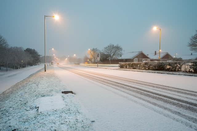
The Met Office has issued a yellow weather warning for ice across Derbyshire lasting 17 hours.

It is active between 5pm (Tuesday, November 19) and 10am today (Wednesday, November 20).
Rain, sleet and snow will continue to clear southwards across England and Wales, but temperatures are expected to fall below or close to freezing quite widely across the warning area – with icy patches forming on untreated freezing surfaces.
A Derbyshire County Council spokesperson said: ““Road surfaces are likely to wet and will freeze, with icy conditions. Please be vigilant and take extra care.
“Over the past 36 hours, we’ve used 1,000 tonnes of grit and our teams have been out consistently through the day and night to treat road surfaces.
“Forecasts suggest that the rest of the week and into the start of the weekend looks cold, with sleet and snow showers, ice and frost. In some areas, it will be very windy.
“We will monitor the weather conditions and we'll do our very best to keep Derbyshire moving.
“Please keep a check on our social media channels for the latest information.”
The Met Office has issued the following advice for keeping safe in icy conditions:
Plan to leave the house at least five minutes earlier than normal. Not needing to rush reduces your risk of accidents, slips and falls.
If you need to make a journey on foot, try to use pavements along main roads which are likely to be less slippery. Similarly, if cycling, try and stick to main roads which are more likely to have been treated.
Give yourself the best chance of avoiding delays by checking road conditions if driving, or bus and train timetables, amending your travel plans if necessary.
Be prepared for weather warnings to change: when a weather warning is issued, the Met Office recommends staying up to date with the weather forecast in your area.