
East Midlands Airport issues travel advice as Met Office snow and ice weather warning extended

East Midlands Airport has urged travellers to plan ahead as snow and ice could impact flights and travel in the region.
East Midlands Airport (EMA) has issued travel advice as the country grapples with wintry conditions.
The airport is urging travellers to forward-plan as wintry conditions have the potential to cause travel disruptions in East Midlands and beyond.
A statement from EMA said: "Wintry weather is forecast this evening and overnight. Our teams are ready to minimise any disruption it may cause. If you are travelling to the airport over the next few days, please take care and prepare in advance."
Although the statement was released by the airport on January 4, a spokesperson told DerbyWorld today: “We’ve experienced no impacts on flights today, with operations running as normal.
“Given the forecast for the coming days, our advice remains to allow extra time for travel and to check with airlines for your flight status.”
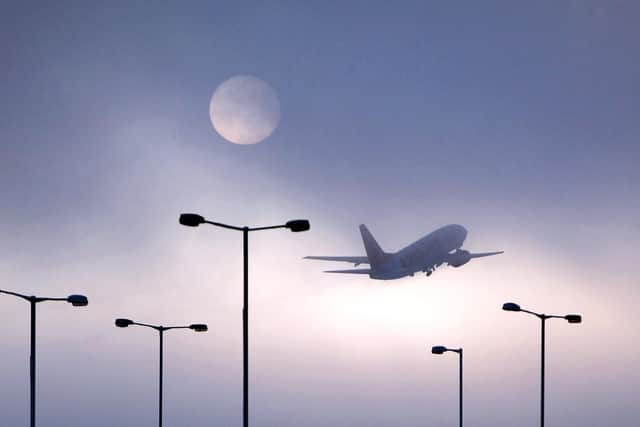

The EMA travel alert coincides with various UK-wide Met Office warnings including one covering Lincolnshire in the East Midlands.
The Met Office yellow warning for snow and ice runs from midnight today till 11am tomorrow and warns scattered snow showers and icy patches have the potential to cause disruption to travel in places at the start of the week.
The Met Office said: “Whilst snow showers will ease on Monday night, an ice risk will continue through to Tuesday morning with the warning end time extended.”
At the time of writing, there are no weather alerts on the horizon on Wednesday and onwards, although this is fluid and could change, thanks to the Artic airmass which makes its way over the UK.
There is uncertainty over the exact position of a low pressure system which is important in understanding the potential of weather hazards.
Deputy Chief Meteorologist, Mike Silverstone, said: “While we’re confident an area of low pressure will move in from the west on Thursday and into Friday, the exact position of that low pressure is uncertain at this stage.
“The position is important as it will determine the type of severe weather different locations may experience.
“The most likely scenario at this stage is for low pressure to track near the south coast. Near and south, low, heavy rain and strong winds are more likely, whilst snow could accumulate to the north as it encounters cold air.
“As confidence increases in the track of the low pressure, so will the detail of the weather impacts so it is important to stay up to date with the weather forecast through the week.”
Met Office Chief Meteorologist, Matthew Lehnert, said: “The UK will continue to experience a range of winter weather hazards through this week, with low temperatures as well as snow showers and the risk of ice for many.
“A number of severe weather warnings have been issued and these are likely to be updated through the week so do keep up to date with the forecast.”