
Exact times snow could fall in Derby this week as temperatures drop

Find out when to expect flurries in Derby.
Derby and the wider East Midlands is set to snow over the coming days as temperatures drop and colder air moves in.
Two weather forecasting models point to snow this week.
Netweather says there is a 72% chance of a snow risk in Derby tomorrow at 10am, climbing to 83% in the evening between 7pm and 8pm.
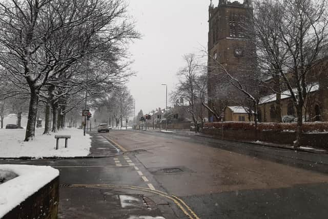

On Friday, February 20, Netweather also suggests a high risk of snow with a 95% chance at 6am.
The Met Office is also warning of wintry conditions from tomorrow as a colder weather front becomes established .
Here is the full Met Office forecast for Derby
The Met Office outlook from February 17 - 21 says conditions will be chilly with a cold week ahead.
Today:
Dry and cold with increasingly hazy sunny spells for many areas today, but isolated wintry showers near coasts. Strong winds in coastal areas gradually easing. Risk of icy stretches at first. Maximum temperature 5 °C.
Tonight:
Dry and cold with clear spells this evening, and a widespread frost developing, with a risk of icy patches. Cloud gradually thickening overnight. Minimum temperature -2 °C.
Wednesday:
Dry but mostly cloudy and cold to start. Any early brighter spells disappearing as a band of rain, sleet and snow on higher ground reaches southwestern parts. Wind strengthening. Maximum temperature 5 °C.
Outlook for Thursday to Saturday:
Early rain, sleet and snow soon clearing Thursday morning, then drier and brighter. Winds easing. Cloud thickening Friday, turning windy with rain and showers, continuing into Saturday. Turning much milder.