
‘The Midlands could be plastered’: Heavy snow forecast for Derbyshire later this week

The snow could fall Thursday night into Friday
Heavy snow could fall in Derbyshire later this week, with several inches possible in some parts of the county.
A bitterly cold start to 2026 has seen Derbyshire under multiple Met Office warnings for snow and ice, alongside a UK Health Security Agency (UKHSA) amber cold weather alert due to expire at 10am on Friday, January 9.
While temperatures are expected to gradually increase later this week, there remains potential for significant snowfall in Derbyshire.
Current forecast models show a band of rain, sleet and snow sweeping across all of England between Thursday night (January 8) and Friday morning (January 9).
Some parts of the country will only experience snow, while others - including the East Midlands, look set for heavy snow.
How much snow could Derbyshire get between Thursday and Friday?
Firstly, it’s worth pointing out that detailed snow forecasts in the UK aren’t usually available until at least 24 hours before the event.
According to the Met Office, this is because there's often a fine line between who sees snow and who sees rain, plus other factors such as sea temperatures.
A yellow weather alert for Thursday and Friday this week indicates more snow is on its way to Derbyshire. The warning runs from 6pm till 12pm across two days.
All areas affected are Derby, Derbyshire, Leicester, Leicestershire, Lincolnshire, Northamptonshire, Nottingham, Nottinghamshire and Rutland.
The Met Office warning comes as the UK prepares for Storm Goretti, a weather system named by Meteo France.
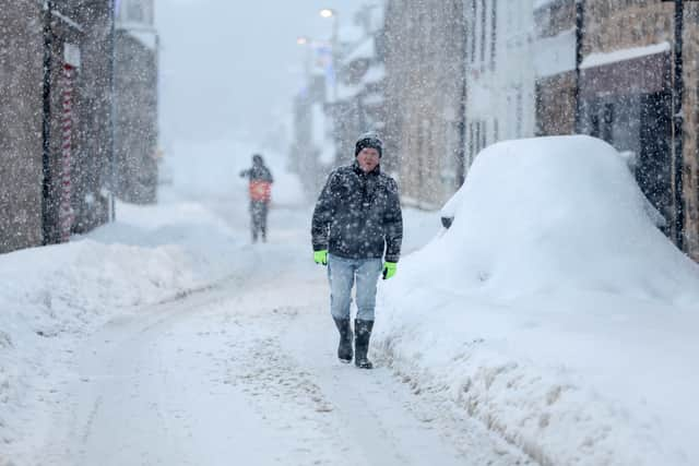

Speaking about the potential of heavy snow for parts of England on Thursday night, ITV weather presenter Chris Page said: “There are growing signs that strong winds and heavy rain could add to the weather hazards this week.
“As we know, rain and freezing temperatures means snowfall is likely. This depends on the exact track of an area of low pressure, which is still uncertain at this stage.
“There's a lot to play for and small changes in the low pressure's position will make a big difference to what weather we see.”
“At the moment, the most likely scenario is for the low to track along the south coast, meaning heavy snowfall is likely for central England and Wales. Elsewhere in the south will be a mix of rain and sleet with strong gusty winds.
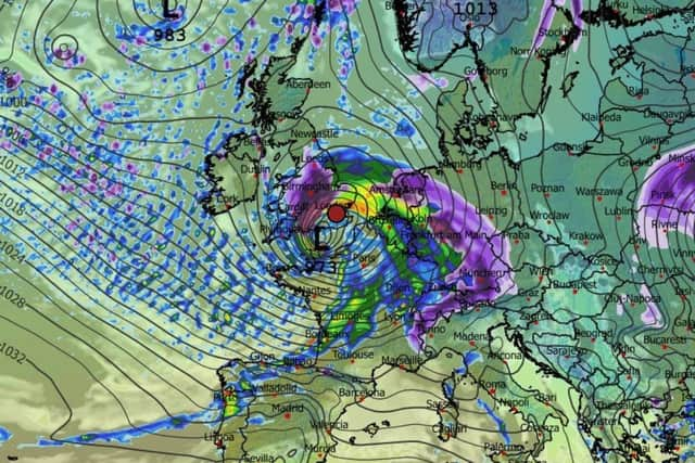
“There is the potential for this system to be named. As confidence grows in the track of this system, the detail on impacts will become clearer, so staying up to date with the forecast this week will be important.”
WX Charts, which uses Met Desk data to provide forecast maps, currently indicates that several inches of snow could fall in Derbyshire between 6pm on Thursday and 6am on Friday.