
Heavy snow forecast for areas of UK as weather warning issued - includes Derby

The UK Health Security Agency (UKHSA) has also issued a cold health alert covering Derby and the wider East Midlands until January 5.
Derbyshire is bracing for lower single digit temperatures and a chilly start to the new year.
For now, high pressure remains in charge over the next few days, meaning we will see a continuation of the current chilly, but settled conditions.
However, further into the new year, the Met Office long-range weather forecast says the UK could be hit by snow.
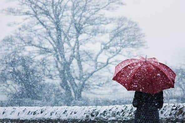

Weather forecast this week in Derby
There will be clear skies for many areas tonight (Monday, December 29), allowing temperatures to fall away and resulting in a widespread frost in the north.
Tuesday will be mostly dry, peppered with sunny spells and patchy cloud.
Weather for New Year’s Eve, New Year’s Day in Derby
The outlook for many on New Year's Eve is expected to be windy with showers and turning colder at the beginning of 2026.
Met Office Deputy Chief Forecaster Mark Sidaway said: “It certainly looks like we are in for a taste of ‘winter’ as we welcome in the New Year, initially in the north, but more widely across the UK for the first week of 2026.
“Arctic air and strong northerly winds will bring cold or very cold conditions to all parts of the UK, and it will feel especially cold in the strong winds.
“Widespread and locally severe frosts are expected, along with the first snow of the winter for many.”
The northern parts of the country will bear the brunt of icy weather.
The weather expert added: “A yellow warning for snow and ice has been issued for northern Scotland on New Year’s Day and beyond, where frequent and heavy snow showers may lead to some travel disruption.
“These colder conditions and wintry hazards – snow, ice and strong winds – will develop more widely as we enter the New Year, with more warnings for snow and ice likely.
“It looks like this cold spell will last through at least the first week of January, so it’s important people keep up to date with the latest forecast and warnings.”
The UK Health Security Agency (UKHSA) has also issued a cold health alert covering Derby and the wider East Midlands until January 5. All other regions in England will also be under a yellow alert for this period.
When will it snow in Derby?
WXCharts forecasts snowfall across the country on Friday, January 9. Blizzards could be coming to Scotland, Blackpool, Norwich, while Manchester and Stoke-on-Trent could see snow falling at 10mm per hour.
It is helpful to look at the long-range forecast to get a wider picture of the weather across the UK.
The Met Office long-range forecast covers January 1 - 11
The Met Office says cold northerly winds, initially across Scotland are now expected to become dominant across the whole UK in the first week of January.
These will bring wintry showers, often of snow, to many areas exposed to onshore winds.
Subtle day-to-day changes in wind direction from northeast to northwest will change the places most exposed to the showers, but many inland locations across central and southern areas will remain mostly dry but cold.
There are likely to be some more coherent bands of rain, sleet and snow working south, and these may bring a risk of more prolonged wintry precipitation affecting some inland areas. Towards the second half of this period, slightly milder conditions will attempt to move in from the west.
The Met Office says long-range forecasts include the ‘general feel’ of the weather using ensemble models, but become harder to offer local detail to as high a level of accuracy as shorter range forecasts.