
Latest weather warning sees Derby on alert for ice - forecast for week ahead

Derby is under a yellow ice warning, in the Met Office’s latest weather alert
Storm Goretti may have passed however the region is still in the grip of a cold snap.
The Met Office’s latest weather alert says Derby should expect a mix of rain and snow during Sunday (January 11) morning.
The yellow ice warning is in place till 11am today.
A band of rain, sleet and snow will move east across the area during Sunday morning, falling onto sub-zero surfaces for a time and leading to ice forming on untreated surfaces.
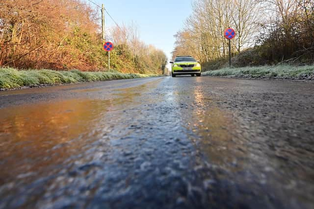

Accumulations of snow will be mainly small, although a few centimetres are possible over the higher routes.
Temperatures will rise from the west later on Sunday morning with any snow turning to rain as ice starts to melt.
All local areas affected by this latest Met Office alert are Derby, Derbyshire, Leicestershire, Lincolnshire, Nottingham and Nottinghamshire.
Although northern parts of the country such as Central, Tayside & Fife, and Highlands & Eilean Siar will see two yellow weather warnings on Monday, for rain and wind, the outlook for Derby is more settled.
Here is weather forecast January 11 - 15 for Derby
Today:
Rain, sleet, snow and perhaps freezing rain at first, giving rise to icy stretches. This will turn to rain during the morning as temperatures rise. Windy, especially along the coast. Maximum temperature 7 °C.
Tonight:
Outbreaks of rain will clear away east. Remaining breezy overnight with some showers, mainly for the Peak District, and clear spells developing elsewhere. Less cold than of late. Minimum temperature 5 °C.
Monday
Blustery with showers, most frequent through the middle part of the day, but also some bright or sunny intervals. Milder than recently. Maximum temperature 10 °C.
Milder than of late, and unsettled through this period. Breezy at times with outbreaks of rain or showers, but also some sunny spells likely in-between. Likely drier on Wednesday.
Outlook for Tuesday to Thursday:
Milder than of late and unsettled through this period. Breezy at times with outbreaks of rain or showers, but also some sunny spells likely in-between. Likely drier on Wednesday.
What is the weather in Derby for next weekend?
Milder conditions from the beginning of the week will disappear thanks to low pressure systems moving in from the Atlantic.
You can expect showers or longer spells of rain for Derby and much of the UK.
Some heavy rain or showers are likely at times, most often across high ground in the west where rainfall totals will probably be highest.
Periods of strong wind or gales are possible, especially around coasts and if any deep areas of low pressure develop in the vicinity of the UK.
Some short-lived spells of mainly dry weather are likely between weather systems. Temperatures are expected to be close to or slightly above average for the time of year overall.
What weather can we expect in February 2026?
A broadly south-westerly regime is most probable during this period, bringing changeable conditions and spells of wet weather, with some heavy rain in places.
Strong winds are possible at times with temperatures mostly near normal. Some spells of more settled weather are possible between weather systems.