
Here's where snow is forecast to fall across Midlands next week - Full forecast for region and Derbyshire

Snow is expected across the Midlands next week, with light flurries predicted in North Staffordshire. Read the full forecast for Derbyshire and the region.
As winter approaches and temperatures plummet, locals could find themselves waking up to frosty mornings as the month progresses.
WXCharts’ weather map which distinguishes snowfall with the colour blue and purple shows Stoke-on-Trent in Staffordshire could be hit by light flurries next week.
According to WXCharts, snow is forecast in North Staffordshire next week. Temperatures could plummet on November 19, with snow predicted to fall between 3am and 6am.
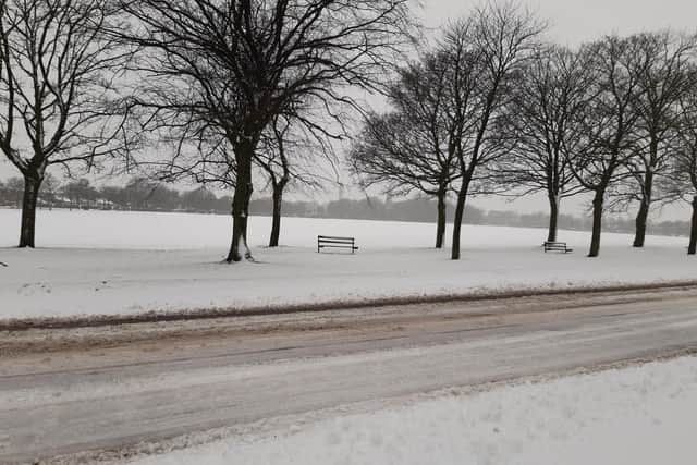

The BBC and Met Office has also predicted light snow on Thursday, November 20, with snow and sleet forecast throughout the night.
Derby Met Office forecast
Friday, November 14
Today
Today will become an unsettled day with cloudy skies and an area of blustery, persistent rain, this falling heavy and potentially bringing some disruption. Windy with strong gusts in places.
Tonight
Tonight will continue to be windy and blustery with outbreaks of rain persisting for a time. Rain will turn patchier during the early hours but it will stay cloudy and damp throughout.
Saturday, November 15
Tomorrow is expected to start dull, very breezy and wet with some spells of rain. Turning drier through the day, with just a few spots of drizzle lingering through the evening. Easing winds.
Outlook for Sunday to Tuesday
Mostly cloudy and dry on Sunday, though some late brightness is expected to develop in the afternoon. Plenty of sunshine and limited cloud on Monday, but trending colder under northerly winds.
Tuesday looks to become cloudier, with the chance of a few isolated showers. Strengthening winds and cold. Largely dry with clearing skies by the end of the day.